
I teach with the goal of connecting Earth science concepts to students’ lives, fostering critical thinking, and encouraging curiosity.
Helping student see the science in the world around them.
Courses Taught
Below are the courses that I currently teach at Pensacola State College. Syllabi are provided for reference.

Introduction to Earth Science
Covers the Earth’s structure, processes, and systems, emphasizing observation, analysis, and interpretation of scientific data.
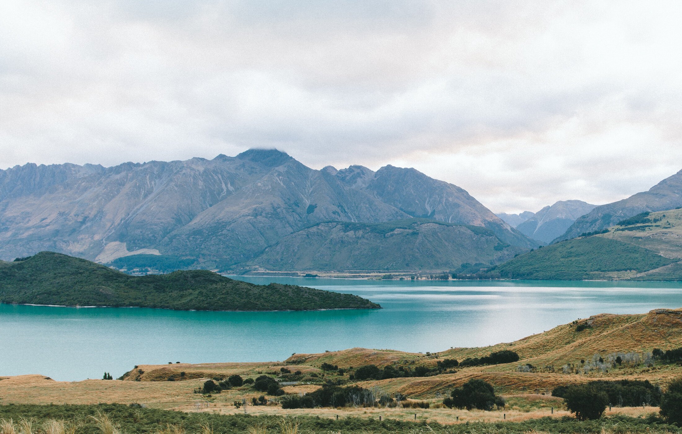
General Oceanography
Explores the physical, chemical, and biological characteristics of the world’s oceans, with connections to climate, ecosystems, and human impact.
Selected Applied Assignments
-
Tracing the Challenger Expedition
Students work in groups to map the route of the Challenger Expedition, identify key discoveries, and discuss its role in shaping modern oceanography.
-
Plate Tectonics: Spreading Rate Calculation
Students use magnetic striping data to calculate the spreading rate and width of theoretical ocean basins.
-
Chemical Properties of Water and CO₂ Impacts
Students examine real-world data to understand how carbon dioxide affects ocean chemistry and marine life.
-
Air-Sea Interaction Think-Pair-Share
Students analyze how ocean-atmosphere interactions shape climate patterns and weather events.
-
Earthquake location & Intensity
Students triangulate earthquake epicenters using seismograms, then assess Mercalli intensity from historical accounts.
-
Volcanic Hazards Mapping
Students map products from historic Cascade Range eruptions and assess risks to nearby communities.
-
Geologic Time Cross-Sections
Students use geologic principles to interpret cross-sections and create their own from written descriptions.
-
Climate Proxies Jigsaw
Groups analyze different climate proxies for Iceland over the last 1,000 years, then combine data to create an approximate temperature curve.
Selected Discussion Based Learning & Critical Thinking Skills Exercises
-
Applying the Scientific Method in Earth Science
Students examine real-world application of the scientific method in advancing knowledge of Earth systems.
-
The Status of Pluto: Planet or Not?
Students debate Pluto’s classification based on scientific evidence and definitions.
-
Strengthening Alfred Wegener's Continental Drift Theory
Students chose post-WWII evidence to help convince skeptical scientists of Wegener’s era.
-
Analyzing Global Volcanic Eruptions
Students research a recent volcanic eruption and compare its impacts with peers’ findings.
-
Shifting Gases: Temperature & Ocean Chemistry
Students discuss how temperature, salinity, and biological activity affect CO₂ and O₂ concentrations in the ocean.
-
The Future of Tidal Energy
Students evaluate the potential of tidal currents as a sustainable energy source, weighing benefits and challenges.
-
Beach Stabilization Strategies & Their Impacts
Students explore the pros, cons, and ecological implications of different beach stabilization methods.
-
Plastic Pollution in the Ocean
Students examine two key issues caused by floating plastic debris and determine which poses the greatest threat to marine life.